The City of Burns has successfully completed their search for the next City Manager. We are happy to announce that on Tuesday, September 2, the city offered the position to Brenda Engebretson and she has accepted. She will begin her position with the City on September 22, 2025. Ms. Engebretson has lived in Harney County for 13 years and the council believes that her knowledge of the area coupled with her background and training makes her a perfect fit to move forward with the projects and vision that the city has worked hard to implement.
Expect water interruptions on Madison, North Imperial, North Harney, and West Adams while work is being done in that area. Currently, we do not have an estimated time the work will be done, but we will keep you updated as we know more. Thank you for your understanding.
The City of Burns will be having a meet and greet with a new City Manager candidate this Wednesday from 5:00 p.m to 6:00 p.m. in the Burns City Council Chambers. We hope the community will come down and take the time to meet with the new canidate. We look forward to seeing everyone there!
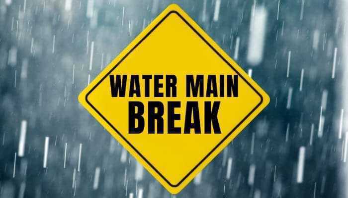
PUBIC NOTICE: Water Main break on Harney and Jefferson. Expect water interruptions. Also, please be careful while driving as our crew will be out working on getting the issue fixed. Thank you.
PUBLIC NOTICE: The Oregon Water Resources Department is proposing a 35% reduction in groundwater pumping over the next 24 years to stabilize groundwater levels . This would end up with the state regulating all of Harney County residents' water usage. These policies will have a significant impact on all of Harney County and it's economy. Lets make our voices heard!
The City of Burns currently has a City Council position open. If you are interested, please write a Letter of Interest on why you would like to be on the Burns City Council and drop it off with the staff at City Hall or email it to the City Manager Judy Erwin at jerwin@cityofburnsor.gov or the City Clerk Tiffany Leffler at tleffler@cityofburnsor.gov. Thank you and have a great weekend!
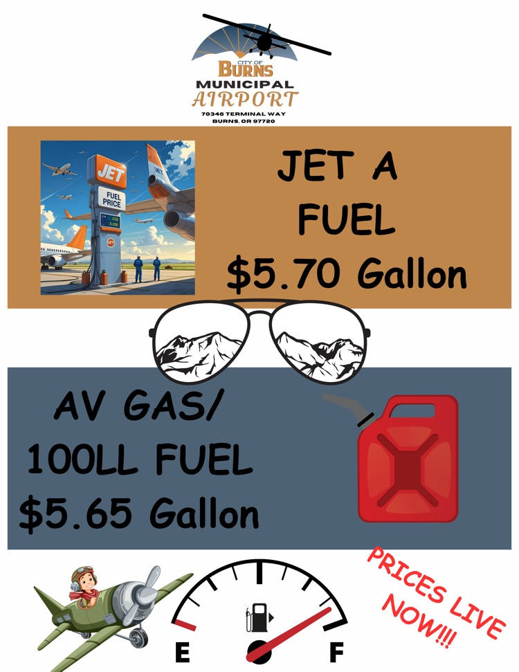
Ready to Fly?! Fuel before you go! Burns just lowered its fuel prices to encourage your summer adventures!
#FlyHigh #LevelUp2025 #AirportCommitteeForTheWin
PUBLIC NOTICE: Portland State University will be back this Thursday through Saturday to complete the income surveys for the City of Burns. If they left a survey, info sheet, and postage-paid return envelope in a bag on your door last time, you can put it out for them to pick up this time so they wont have to bug you. Thank you for your assistance in this matter. It is greatly appreciated and very helpful to our commitment.